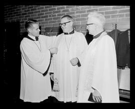
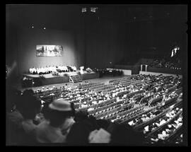
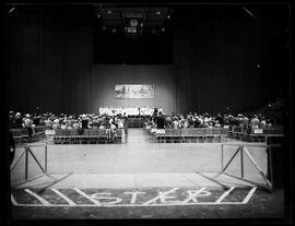
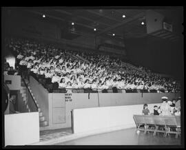
North America

Taxonomy

Code

Scope note(s)

Source note(s)

Display note(s)

Hierarchical terms

North America

Equivalent terms

North America

Associated terms

North America

10032 Archival description results for North America

2 results directly related Exclude narrower terms

Mackay, Isabel Ecclestone

File consists of one three quarter length studio portrait of Isabel Eccleston Mackay. Isabel is seated wearing a lace dress and holding a magazine.

Mackay, Isabel Ecclestone

Mackay, Isabel Ecclestone.

File consists of one full length studio portrait of Isabel Mackay with an unknown woman. The two are seater side by side wearing elaborate gowns.

Mackay, Isabel Ecclestone

Mackay, Isabel Ecclestone.

File consists of one snapshot of Isabel Mackay with two of her daughters, Phyllis and Margaret. The three are standing outside in a wood in Stanley Park. Verso reads "Taken in Stanley Park about 1912 with Margaret on left, Phyllis on right."

Mackay, Isabel Ecclestone

Mae.

Upper body studio portrait of Mae [?] seen in partial profile.

Rieder and Anthes family

Man by a river.

Photograph of a man leaning on a wall by a river posing for the photograph with vegetation in the background. Photograph was possibly taken at North-Western College, Naperville, Illinois.

Breithaupt Hewetson Clark family

Man on a street.

Photograph of a man posing for the camera with buildings in the background. Photograph was possibly taken at North-Western College, Naperville, Illinois.

Breithaupt Hewetson Clark family

Man studying.

Photograph of an adult studying in a dorm room with a bed in the background and pennants on the wall. Photograph was possibly taken at North-Western College, Naperville, Illinois.

Breithaupt Hewetson Clark family

Map of Henry Wagner homestead.

Two maps created by Gordon Wagner that show the location of Henry Wagner's homestead in upstate New York, near the town of Rose. One map shows the location in relation to the large geographical area and the other shows the exact plot and surrounding farms with notes on the location of the home, etc.

Wagner, Gordon

Map of Manitoba.

Map shows: township boundaries, sectional survey and railways. On verso: Manitoba farming information.

Schantz Russell Family

Map of Orville and vicinity.

A hand drawn map of Orville, Ontario and the general vicinity. The map shows roads and lakes and marks out the location of a camp ground to the east of Sugar Lake. Around the border of the map are drawings of four figures: Bill, Frank, Bert, and a rube.

Schantz Russell Family

Map of the City of Montreal

Map of the City of Montreal produced by A. T. Chapman in 1925. The map includes an index of streets and a numbered chart of tramway routes and is stamped "John Walter 32 Fairview Ave. Kitchener, Ont."

Walter, John

Maple leaf.

Maple leaf hand painted by Suddaby Public School students to commemorate the centennial of the school.

Schneider, Norman Christoph

Maps.

File consists of maps of the Muskoka region. Includes maps of Lake Muskoka, Lake Rosseau, and Lake Joseph by the Canadian Hydrographic Service, Department of the Environment, Ottawa; the road system in the District Municipality of Muskoka by A.R. Ferguson, Gravenhurst; and 6 blueline prints of topographical maps of the Humphrey, Medora, Wood, Muskoka, Monck, and Watt townships in Muskoka by the Ontario Forestry Branch, Perry Sound (1933-1942). Material probably collected by Michael Vaughan.

Muskoka Lakes Association

Maps and tourist information.

File consists of material relating to travelling and sightseeing, probably collected by Carl A. Pollock. Includes road maps and tourist maps, leaflets and booklets from tourist attractions, and typed and ms. notes. Maps are for Kitchener, Ontario, various American states and cities, and Stuttgart, Germany.

Electrohome

Results 5801 to 5900 of 10032